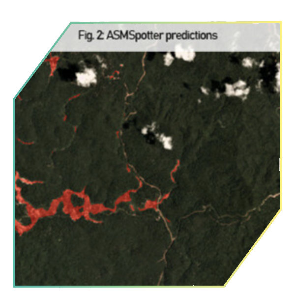
ASMSpotter
A software to automatically identify artisanal and small-scale gold mining sites on satellite imagery (Sentinel-2) based on a large training data set and machine learning algorithms (U-Net)
Project Inambari
An open mapping platform that uses publicly available SAR (Synthetic Aperture Radar) satellite imagery in combination with other data sources for detecting mining affected lands in tropical forests.
Community-led Monitoring
Smartphone-based reporting tools to facilitate an inclusive grievance system for local communities, and systematic documentation of safeguards, compliance, & illegalities in the artisanal mining supply chain.
Mining Impact Calculator
A digital, economic valuation tool that allows users to calculate the social and environmental impact of illegal gold mining in the Amazon, in order to improve decision-making, and establish changes and/or improvements in the regulatory framework around this activity.


